GPS Camera for Surveyors: Ground Truthing and Boundary Validation
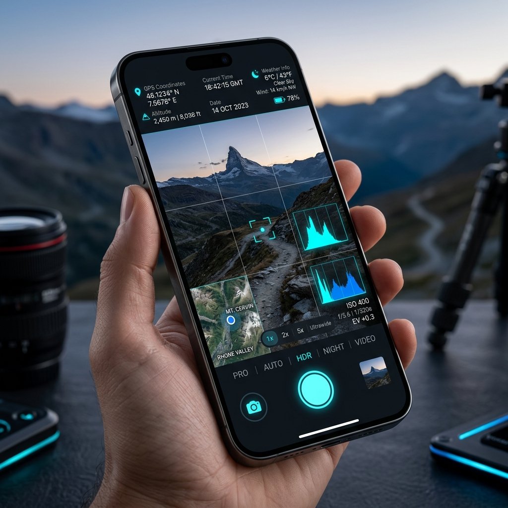
Supplementing The Total Station with a GPS Camera
While professional land surveyors rely on highly calibrated RTK GPS rovers and optical total stations for millimeter-accurate boundary measurements, a GPS Camera for Surveyors provides a crucial supplementary layer of data: verifiable visual context. A coordinate on a CAD drawing is just a number. A geotagged photograph showing the physical boundary marker (like an iron pipe or a blazed tree) anchored to that coordinate provides immense legal clarity.
Ground Truthing Aerial LiDAR
Modern surveying relies heavily on drone photogrammetry and aerial LiDAR. However, these digital elevation models require "ground truthing"—physical verification of control points on the ground. Surveyors walk the site using a GPS Camera to photograph specific control points. The visual stamp, including altitude and coordinate data, is then fed into photogrammetry software to calibrate the 3D models.
Legal Boundary Disputes
In boundary disputes, a neighbor might claim a fence was built on their property. A surveyor can photograph the fence line using a GPS Camera. Because the resulting image features a cryptographically secure EXIF header and a visual coordinate stamp, it holds significant weight in property litigation compared to an unstamped photograph.
📍 GPS Map Camera Quick Links
📲 Download GPS Map Camera – Free
Start stamping your field photos with GPS location, date & time. 100% free on Android.
▶️ Download GPS Map Camera on Google Play