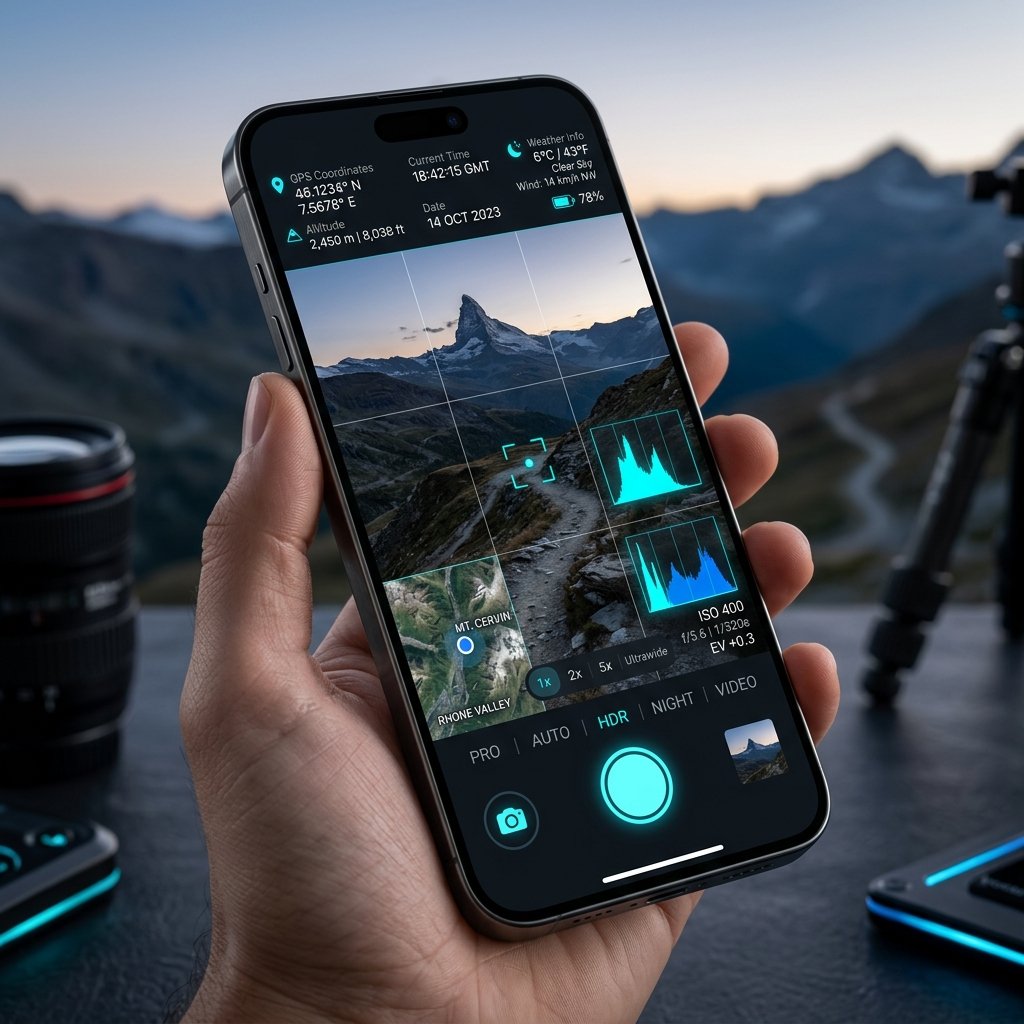
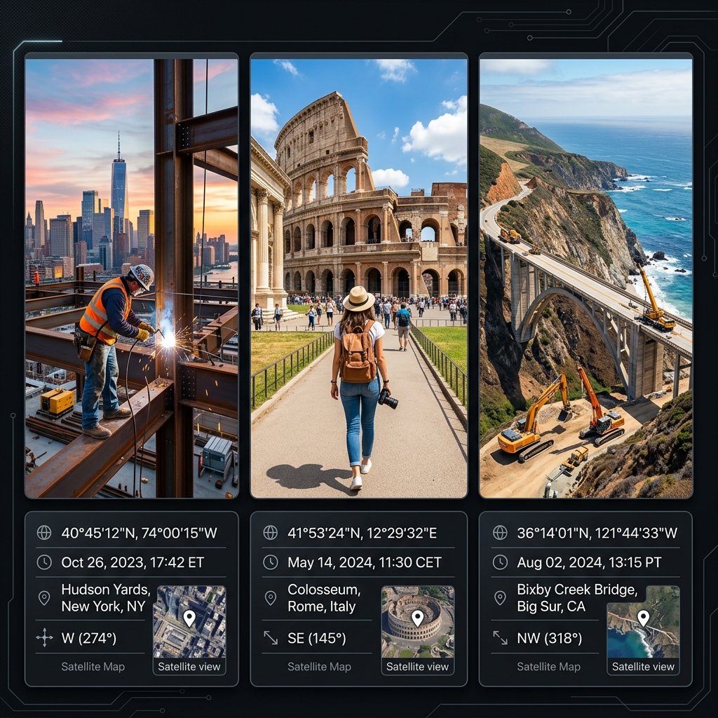
Download GPS Map Camera – the free geotagging app that auto-stamps your field photos with accurate GPS coordinates, tamper-proof atomic timestamp, live satellite map overlay, project notes, and company logo. The #1 GPS camera app trusted by engineers, surveyors, and government agencies worldwide.
28.6139° N, 77.2090° E
Network Synced & Locked
GPS Map Camera (package ID: com.geotagginglocationonphoto.gpsmapcamera) is a professional GPS camera app that overlays exact location data, date, time, and map directly onto your photographs. Unlike standard phone cameras, GPS Map Camera pulls coordinates from multi-constellation satellites (GPS, GLONASS, Galileo, BeiDou) and fetches tamper-proof atomic timestamps from global NTP servers.
The result is a photo that functions as irrefutable legal evidence — with burned-in GPS coordinates that cannot be edited, deleted, or spoofed after the fact. This is why GPS Map Camera is the mandatory field documentation standard for 500,000+ civil engineers, government PWD departments, real estate valuers, insurance adjusters, and delivery fleets worldwide.
Try the exact geotagging template engine powering the GPS Map Camera mobile app. Adjust map modes, timestamp formats, and custom notes in real time.
Configure your GPS stamp exactly as needed for municipal surveys, construction reports, or client documentation.
Whether you are a civil engineer, government inspector, or real estate agent — every GPS Map Camera stamp is engineered for verified authenticity.
GPS Map Camera uses multi-constellation satellite signals (GPS, GLONASS, Galileo, BeiDou) coupled with Wi-Fi & cellular triangulation to lock your exact latitude and longitude within 1.5 meters — even in dense urban areas.
The GPS Map Camera app prevents EXIF date tampering by pulling real-time atomic clock timestamps directly from secure NTP servers. No one can backdate or change your photo's time — ever.
In GPS Map Camera, you can edit and customize your stamp with project names, inspector IDs, company logos, true-north compass direction, altitude, and weather conditions — all burned directly onto your high-resolution photo.
Get GPS Map Camera free on your Android or iPhone in under 60 seconds.
On your Android phone, open the Google Play Store.
Type GPS Map Camera in the search bar. Look for our orange pin logo.
Confirm the package ID is com.geotagginglocationonphoto.gpsmapcamera to ensure it is genuine.
Tap Install or Get. GPS Map Camera is 100% free — no payment or subscription required.
Explore real-world guides on how GPS Map Camera transforms construction verification, government audits, and legal documentation.
Learn how state highway engineers, bridge inspectors, and road maintenance contractors use com.geotagginglocationonphoto.gpsmapcam...
Explore how property insurance adjusters, forensic investigators, and legal audit boards use com.geotagginglocationonphoto.gpsmapc...
Discover how third-party logistics (3PL) providers, freight forwarders, and courier fleets use com.geotagginglocationonphoto.gpsma...
Got questions about GPS Map Camera? Find instant answers below.
Join 500,000+ engineers, surveyors, and professionals who use GPS Map Camera to stamp photos with verified GPS location, atomic timestamp, and custom project notes. 100% free. No subscription required.