Engineering & Construction
GPS Camera for Engineers: Ensuring Precision in Civil and Structural Projects
✍️ Author: Dr. Aris Thorne (Geospatial Technologist)
•
📅 Published: 2026-07-12
•
🏷️ Engineering & Construction
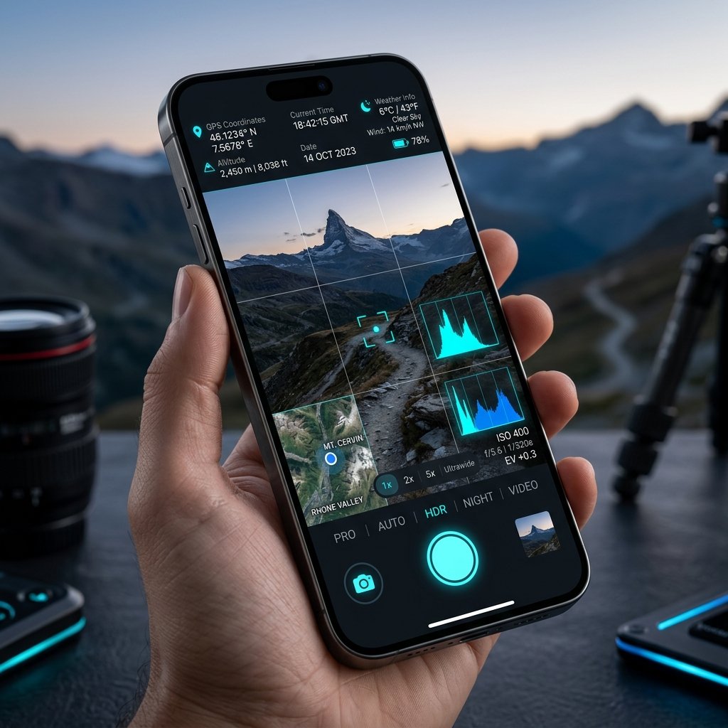
Why civil and structural engineers mandate the use of a GPS Camera for all site inspections, progress reports, and material verification.
The Engineering Standard: A GPS Camera
Civil engineering is a discipline built on precision, accountability, and exact documentation. When a structural engineer inspects a newly poured concrete pillar on a 50-kilometer highway project, a standard photograph is practically useless. It lacks context and verifiable location data. This is why a GPS Camera for Engineers has become a mandatory tool in modern civil project management.
Key Engineering Use Cases
- Material Delivery Verification: When thousands of tons of steel rebar arrive on site, engineers use a GPS Camera to photograph the delivery. The stamp proves exactly which staging area the materials were dropped in and at what atomic time.
- Structural Milestones: Before pouring concrete over a complex rebar cage, the engineer captures geotagged photos of the cage. If a structural failure occurs years later, these photos serve as irrefutable proof that the internal structure met code at that exact location.
- Defect Tracking: When mapping cracks in a bridge abutment, a GPS Camera stamps the exact coordinates, allowing repair crews to navigate directly to the defect weeks later without confusion.
Why com.geotagginglocationonphoto.gpsmapcamera?
Engineers specifically choose this application because it accesses raw dual-frequency GNSS data, providing the sub-meter accuracy required for civil works. Standard apps that rely on Wi-Fi positioning are completely inadequate on remote construction sites.
📍 GPS Map Camera Quick Links
Share this GPS Map Camera guide:
📲 Download GPS Map Camera – Free
Start stamping your field photos with GPS location, date & time. 100% free on Android.
▶️ Download GPS Map Camera on Google Play📚 More GPS Map Camera Guides
Engineering & Construction
GPS Camera for Construction: Managing Subcontractors with Visual Proof
Read GPS Camera Guide →
Government & Municipal