Geo Tag Camera: The Ultimate Tool for Location-Based Asset Tracking
Defining the Geo Tag Camera
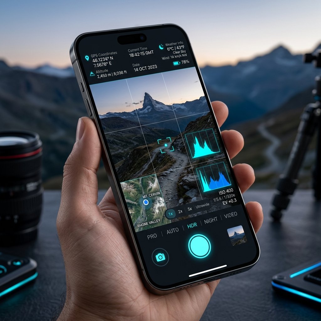
A Geo Tag Camera is engineered for a specific purpose: associating visual data with a strict geographical locus. While "geotagging" is a feature present in many consumer apps (like Instagram or standard gallery apps), a dedicated Geo Tag Camera prioritizes the accuracy and visibility of those tags.
Use Cases in Asset Management
Managing distributed physical assets—whether they are telecommunications towers, municipal fire hydrants, or billboard advertising spaces—requires constant visual auditing. A Geo Tag Camera streamlines this process:
- Maintenance Audits: A technician photographs a rusted transformer. The Geo Tag Camera burns the exact coordinates and timestamp onto the photo.
- Data Centralization: The photo is uploaded to a central database. Because the EXIF data is perfectly formatted by the Geo Tag Camera, the database automatically plots the photo on a digital map.
- Contractor Verification: When the repair crew is dispatched, they use the exact coordinates from the geotagged photo to find the asset in a massive rural area.
Why Standard Apps Fail at Geo-Tagging
Standard smartphone cameras compress EXIF data or strip it entirely when shared over messaging platforms like WhatsApp. A professional Geo Tag Camera solves this by placing the geographical data directly onto the image pixels (the visual watermark), ensuring that no matter how the image is compressed or shared, the location evidence remains visible and intact.
📍 GPS Map Camera Quick Links
📲 Download GPS Map Camera – Free
Start stamping your field photos with GPS location, date & time. 100% free on Android.
▶️ Download GPS Map Camera on Google Play